Where Is the Rhine River? Course, Map & All 9 Countries Along the Rhine
“Where is the Rhine?” sounds like a simple question, but the answer stretches across nearly half of Western Europe. The river runs 1,232.7 km from a glacial lake high in the Swiss Alps to the tidal flats of the North Sea, passing through or bordering nine countries along the way (Source: CHR, 2015). It is not Europe’s longest river — the Danube and the Volga both surpass it — but no other European river connects as many nations, economies and people in such a compact corridor.
Starting Point: Tomasee, Switzerland
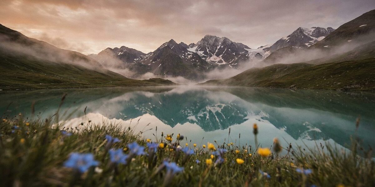
The Rhine’s official source is Tomasee (Romansh: Lai da Tuma), a small alpine lake at 2,345 meters above sea level in the canton of Graubünden. It sits in a treeless cirque surrounded by peaks, reachable only by a multi-hour hike from Oberalppass. The water flowing out of Tomasee becomes the Vorderrhein (Anterior Rhine), which tumbles down through the Rhine Gorge — Switzerland’s own “Grand Canyon” — before meeting the Hinterrhein (Posterior Rhine) at Reichenau.
From Reichenau, the combined stream is known as the Alpine Rhine. It flows northeast through a broad valley that forms the border between Switzerland and Liechtenstein, then between Liechtenstein and Austria. After roughly 90 km, it enters Lake Constance.
Through the Heart of Europe: Country by Country
Switzerland (376 km)
Switzerland contributes the Rhine’s first 376 km and, despite holding only about 14% of the catchment area, supplies a disproportionate share of the river’s water — especially in summer, when Alpine snowmelt drives discharge. The river passes through Lake Constance, drops 23 meters at the Rhine Falls near Schaffhausen (Europe’s largest waterfall by volume), and flows west along the Swiss-German border as the High Rhine until it reaches Basel.
Basel is the Rhine’s first major turning point. Here, at Rhine-kilometer 165, the river bends sharply north and enters the Upper Rhine Graben. Basel is also where the Rhine becomes navigable for large commercial vessels — the 884-km navigable stretch begins at Rheinfelden, just upstream (Source: GDWS).
Liechtenstein (~27 km border)
The principality of Liechtenstein shares a short stretch of the Alpine Rhine along its western border with Switzerland. With just 160 km² in the Rhine catchment, Liechtenstein holds the smallest share of any riparian state — approximately 0.09% (Source: ICPR, 2024). But the river matters enormously here: flood protection along the Alpine Rhine is a joint Swiss-Liechtenstein-Austrian effort, and the ongoing RHESI project aims to increase the channel’s flood capacity from 3,100 to 4,300 m³/s (Source: rhesi.org).
Austria (~55 km border)
Austria borders the Rhine only along the Alpine Rhine section, between Liechtenstein and Lake Constance. The Austrian state of Vorarlberg contributes roughly 2,366 km² to the catchment (~1.3%). The city of Bregenz, on the eastern shore of Lake Constance, is the most prominent Austrian settlement in the Rhine basin. Despite its small footprint, Austria plays a critical role in Rhine flood management: the RHESI project, a joint Swiss-Austrian initiative, is upgrading the Alpine Rhine’s flood capacity from 3,100 to 4,300 m³/s to protect roughly 300,000 people in the Rhine valley (Source: rhesi.org).
Germany (695.5 km)
Germany is the Rhine’s dominant country. The river flows 695.5 km through German territory — or 865.5 km if border sections shared with France and the Netherlands are included (Source: CHR, 2015). It passes through or borders the states of Baden-Württemberg, Rhineland-Palatinate, Hesse, North Rhine-Westphalia and, briefly, Lower Saxony.
Key German cities on the Rhine read like a roster of European economic power: Basel (on the Swiss side but the Rhine’s commercial gateway), Karlsruhe, Mannheim, Mainz, Koblenz, Bonn, Cologne, Düsseldorf and Duisburg. Between Bingen and Koblenz, the river carves through the Middle Rhine gorge, a UNESCO World Heritage landscape of vineyards and medieval castles.
France (~24,000 km² catchment)
France does not sit on the Rhine’s main channel downstream of Basel, but it is a major catchment partner. The Alsatian plain west of the Upper Rhine drains into the river through tributaries like the Ill (217 km). Strasbourg, the Alsatian capital, lies on the Ill just 4 km from the Rhine and operates a significant river port handling 6.3 million tonnes of cargo annually (Source: Port Autonome de Strasbourg). The Grand Canal d’Alsace, built between 1928 and 1959, runs parallel to the Rhine for about 50 km and houses four hydroelectric power stations.
Luxembourg (~2,400 km²)
Luxembourg does not touch the Rhine directly but contributes to its catchment through the Moselle and Sauer (Sûre) rivers. Roughly 1.3% of the Rhine basin lies within Luxembourg’s borders (Source: ICPR, 2024).
Belgium (~800 km²)
A small area of eastern Belgium — primarily in the Hautes Fagnes region — drains into the Rhine system via tributaries of the Moselle. Belgium’s share of the catchment is approximately 0.4%.
Italy (~51 km²)
A tiny sliver of northern Italy, in the Val di Lei near the Swiss border, lies within the Rhine’s catchment. At roughly 51 km² and 0.03%, it is a cartographic footnote — but it means the Rhine technically touches nine countries, not eight.
The Netherlands (161.2 km)
The Rhine enters the Netherlands at Lobith, where the Lobith gauging station records a mean discharge of 2,210 m³/s (Source: BfG/Undine). Almost immediately, the river splits into three branches: the Waal (carrying 67% of flow), the Nederrijn/Lek (22%) and the IJssel (11%). The Waal leads to Rotterdam, Europe’s largest seaport, while the IJssel feeds into the IJsselmeer, a former sea inlet now enclosed by dikes.
For the Dutch, the Rhine is an existential matter. Much of the western Netherlands lies below sea level, and the Rhine’s delta branches are managed through an intricate system of weirs, sluices, storm surge barriers and flood bypasses. The shared governance of this river has shaped European water diplomacy for over 150 years.
The Rhine’s Course on a Map
Traced on a map, the Rhine forms a rough inverted “L” shape. It flows northeast from the Alps to Lake Constance, then turns west along the High Rhine before pivoting sharply north at Basel. From Basel to Mainz it runs almost due north through the Upper Rhine plain. At Mainz it bends northwest through the Middle Rhine gorge, continues north through the Lower Rhine lowlands and finally fans out west and north in the Dutch delta.
This shape is not accidental. The north-south Upper Rhine follows the Rhine Graben, a geological rift valley that began forming around 35 million years ago when tectonic forces pulled the earth’s crust apart between what are now the Vosges and the Black Forest. The Middle Rhine gorge was carved as the river cut through the slowly rising Rhenish Slate Mountains over the past 2–3 million years — a classic example of antecedent drainage, where a river maintains its course even as the landscape rises around it. And the delta is the product of millennia of sediment deposition in a subsiding coastal basin now managed by some of the most advanced water engineering on earth.
How the Rhine Grows Along Its Course
The Rhine’s physical dimensions change dramatically from source to mouth. At its Alpine beginning, the river is barely 10 meters wide. By Basel, it has grown to roughly 200 meters. In the Middle Rhine gorge, it narrows again — to just 113 meters at the Loreley. On the Lower Rhine near Duisburg, it spreads to 400 meters or more.
Discharge tells the same story of growth. The Alpine Rhine enters Lake Constance with about 230 m³/s. At Basel, after absorbing the Aare and other Swiss tributaries, mean discharge reaches 1,040 m³/s. At Kaub in the Middle Rhine, it is 1,640 m³/s. And at Lobith on the Dutch border, the full force of the Rhine’s catchment delivers 2,210 m³/s — roughly ten times the Alpine Rhine’s flow (Source: BfG/Undine).
These numbers translate directly into the river’s usefulness. Commercial navigation begins where the Rhine is wide and deep enough for large barges — at Rheinfelden, just above Basel, marking the start of the 884-km navigable stretch (Source: GDWS). The largest vessels operate on the Lower Rhine, where depth, width and lock-free passage allow ships carrying up to 3,000 tonnes to travel between Duisburg and Rotterdam without restriction.
Why Location Matters
The Rhine’s position at the geographic heart of Western Europe made it both a natural border and a natural highway. The Romans used it as the limes — the frontier of their empire — from 16 AD onward. Napoleon made it the eastern boundary of France. Today, it is neither border nor barrier but a connector: the busiest inland waterway in Europe, linking Swiss industry with the world’s largest seaport at Rotterdam.
Understanding where the Rhine is — its exact course, the countries it crosses, the cities it passes — is the first step to understanding why it matters. Explore its full geography, its seven distinct sections and the nine nations that depend on it.
Sources & References
- CHR: Length of the Rhine — Update 2015
- ICPR: The Rhine — Facts & Figures
- BfG: Undine — Discharge Data
- GDWS: Bundeswasserstraße Rhein
- Rhesi Project: Alpine Rhine Flood Protection